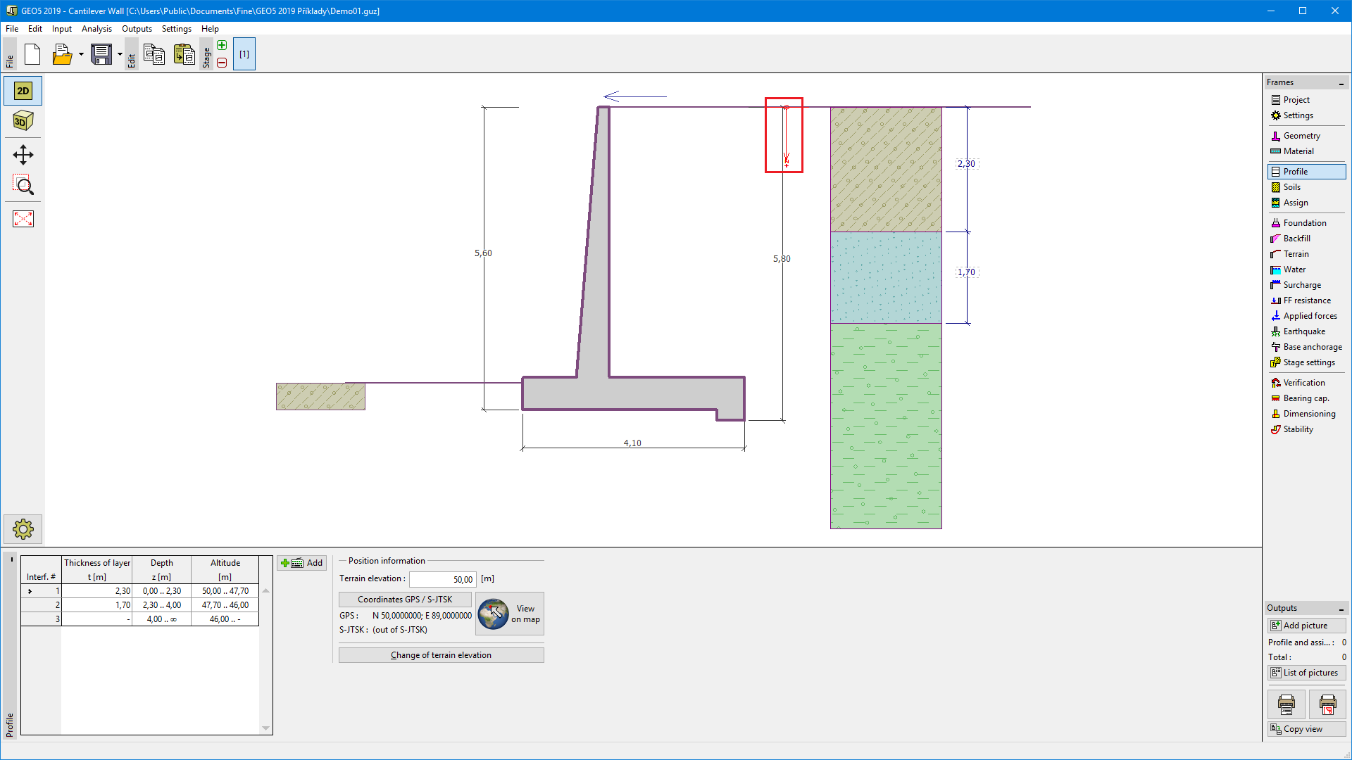
Profile
The "Profile" frame contains a table with a list of input interfaces. After specifying interfaces, it is possible to edit the thicknesses of individual layers using active dimensions.
Adding a layer is performed in the "New interface" dialog window. The layer can be defined by z-coordinate (measured from the top of the structure) or by its thickness.
In this frame, it is also possible to enter optional information about the structure location:
- terrain elevation - if the terrain elevation is input, an altitude column for the layers is displayed in the table
- GPS coordinates - if the coordinates are input, it is possible to show a location of the structure on the Google Maps using the "View on map" button.
The program allows us to raise or lower the top point of a structure in the "Change of terrain elevation" dialog window and, this way, to move the entire interface while keeping the same thicknesses of individual layers.
 "Profile" frame